
Walk a Staunton Street by Address
A useful Staunton address search follows evidence, not a row of names. Start with the physical address and preserve every version that appears: the number, directional prefix, suffix, unit, historic form, and ZIP. The city assessor and GIS can make that address legible as a parcel. A recorded deed then connects the parcel to a conveyance party and legal description. Historical directories, newspapers, and Sanborn maps can add a dated household or building-use layer. Each result needs its own date because an assessed owner, a deed party, and a directory entry may describe different moments.
- Confirm that the parcel is inside independent Staunton city, then standardize the number, street name, suffix, unit, and ZIP.
- Use the assessor or GIS record to save the PID, situs address, legal description, map or tracing reference, and record date.
- Search the current owner as grantee in the Staunton land-record index, then compare the deed description with the parcel record.
- Follow the prior party backward through grantor and grantee entries, keeping book, page, instrument, and recording-date notes together.
- For a historic interval, compare a directory, newspaper notice, or Sanborn sheet with the deed interval instead of assuming title proves occupancy.
The public voter lookup is not a street-wide roster. It requires a named person’s first name, last name, date of birth, and ZIP, and Virginia restricts individual voter-file access. Staunton has five wards, but the ward list is civic geography, not a list of everyone on a block.
Staunton Street Records at a Glance
Address-keyed sources overlap, but they do not mean the same thing. The assessor starts the current parcel trail. The GIS service supplies parcel shape and map context. The clerk’s land records supply conveyance evidence. Permits show activity at an address when the relevant file is public. Historic directory, map, and newspaper material help test what happened between recorded transfers. This separation is especially important where a tax mailing address differs from the physical situs.
| Address record | Staunton keeper | Useful evidence | Access route |
|---|---|---|---|
| Assessor parcel record | City Assessor / Vision | PID, situs, owner, legal description, subdivision, mailing and assessed fields | VGSI database, office, or defined public-record request |
| Tax and DSD publication | City tax / DSD publication | Dated address, owner, lot or block, mailing, map or tracing, and assessment snapshot | Official year-specific PDF |
| GIS tax parcels | City GIS / ArcGIS | Parcel geometry, attributes, adjacent polygons, and map context | Gallery or public REST service |
| Land instruments | Staunton Circuit Court Clerk | Grantor, grantee, instrument, dates, locator, and legal description | SRA, clerk counter, or LVA microfilm |
| Permits and inspections | Community Development | Address-specific building activity and responsive record fields | Civic Access for new work; office or FOIA for older files |
| Directories, maps, and newspapers | Library, ACHS, HSF, and LVA | Dated address, business or household clues, building use, and local notices | Scans, microfilm, collections, or reference help |
A parcel number is often the best bridge between the tax record and the deed trail. The street name is still useful, but it can change, appear in several abbreviations, or cover alleys, rear lots, units, public parcels, and storefronts.
Check the Staunton Street Jurisdiction
Staunton is an independent city. Adjacent Augusta County is a separate local government and records jurisdiction even though its courthouse office is close by in Staunton. A city parcel, city deed, or city court record belongs to Staunton. An unincorporated Augusta address follows the county’s clerk, assessment, and court trail instead. Confirming that split before a street search prevents a plausible, but wrong, property chain.
The Staunton Circuit Court Clerk holds city deeds, deeds of trust, plats and other land instruments. Its city land records date to 1802. Augusta County maintains a separate circuit clerk and separate land books. Keep the source jurisdiction in each research note, particularly when an older description mentions a community or boundary that later changed.
Turn a Staunton Street into a PID
Use the address to locate the current parcel, then save the PID before searching older material. The official 2025 DSD taxable-record sample shows why. Its rows separate PID, situs components, owner or co-owner, legal description, subdivision, mailing address, map number, tracing number, land value, improvements, total assessment, and DSD tax fields. A situs is the physical property location. A mailing address is where tax correspondence goes, so it must not be treated as proof that someone lives there.
- Parcel or PID
- A property identifier used to distinguish a tax parcel from another address or unit on the same street.
- Situs address
- The physical property location used for maps and assessment work, which can differ from the mailing destination.
- Legal description
- The lot, block, subdivision, metes, landmarks, or other deed language that identifies land more reliably than a modern street number.
- Plat
- A recorded map of a subdivision or parcel layout. It can help explain lot lines or a later parcel split.
- Criss-cross directory
- An address-oriented directory arrangement. No Staunton volume explicitly labeled this way was verified, so confirm the title and date with the library.
The published DSD row for PID 6017 illustrates four separate keys: 19 E Beverley Street as situs, a Staunton mailing entry, Lot 12 Block S in Central City as legal and subdivision context, and map 375 with tracing 04. The example is a 2025 tax snapshot, not a promise that every field appears on a live assessor card.
Staunton Street Directory Assessor Fields
The City of Staunton Vision assessor search is the intended address, owner, and PID starting point. Its live form was script or plugin gated during research, so the controls below are marked by the level of verification rather than presented as guaranteed labels. The assessor’s office can also help with a defined parcel question. The city says its assessment database is informational and may be dated, so pair it with the recorded instrument for title questions.
| Control or field | Type | Verification status | Use with a street search |
|---|---|---|---|
| Owner or name | Intended text or autocomplete | Exact live control not exposed | Use only after an address or PID identifies the parcel. |
| Address or location | Intended text | Exact formatting not exposed | Try the normalized situs format, then use GIS if it fails. |
| Parcel or PID | Intended text | Exact live format not exposed | Use the PID from a tax record or GIS result. |
| Map or tracing | Possible search field | Appears in tax publication, not verified as a control | Useful for narrowing an address with several parcel records. |
| ZIP or advanced filters | Unverified | Not exposed during inspection | Do not promise a ZIP or street-wide browse mode. |
Here is the captured assessor landing interface from the official Vision assessor source.
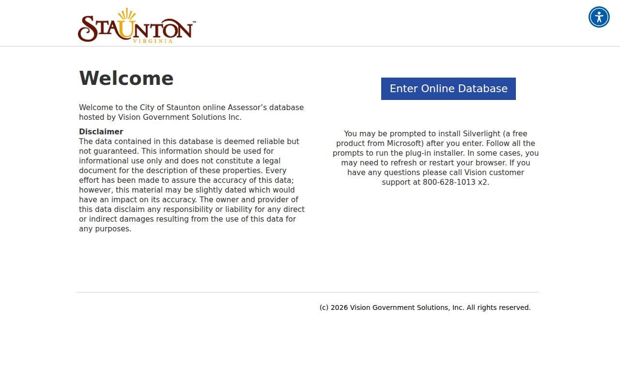
The capture supports using the portal as the first property-search route, while the unexposed live controls remain a reason to keep the address, PID, and tax-PDF fallback ready.
Read Staunton Street Parcels Carefully
The city’s ArcGIS tax-parcel service is the address-to-shape part of a by-address search. Its local parcel layer is layer 0, and the query operation supports parameters such as a where clause, object IDs, requested fields, geometry, spatial relationship, pagination, and output format. The service reports a maximum record count of 2,000. Read live layer metadata before using a field name, because the research did not verify every local attribute or a public street-browse control.
The city describes its mapping as general-reference material that may be incomplete or untimely. A polygon is not a survey boundary, and an adjacent polygon does not identify a household. Look for units, shared addresses, irregular lots, alleys, and rear parcels before deciding that records refer to the same place.
The official Tax Parcels REST service exposes the service and layer structure used for this map-based check.
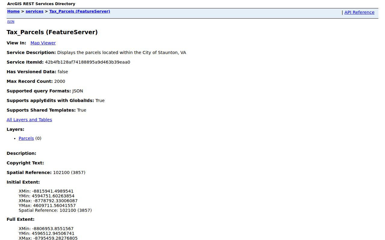
Use that service to locate a parcel geometry, then compare its PID and legal description against the assessor and clerk records rather than treating map placement alone as proof.
Follow a Staunton Street Deed Chain
The clerk’s land-record route is party and instrument based, not a complete historical address index. After the parcel is identified, search the current owner as grantee in Virginia Circuit Court Secure Remote Access. Save the newest deed’s grantor, recording and execution dates where shown, document locator, and legal description. Then search that prior party as a grantee in an earlier date range. Repeat the sequence and preserve spelling variants, trustee names, estate names, corporate suffixes, and “et al.” entries.
Staunton deed books 1 through 4 span 1802 to 1867, while Library of Virginia grantor and grantee indexes run from 1802 to 1951. Later work may use clerk or SRA access, subject to account or office conditions. The clerk page lists secure remote access as a paid annual service, so confirm current access and cost before relying on it. A defined clerk request, counter visit, or Library of Virginia reel can be the better fallback when an online image is not available.
Historic Staunton Street Names Matter
Literal address searching breaks when the source uses an earlier street reference. The Library of Congress HABS work on Putnam Organ Works gives a useful local example: its 1893 deed research uses West Main Street near Main and Water, while the historic bridge points to present Beverley and Central Avenue. Record the source wording first. Then compare it with the deed’s lot or landmark language, a historic map, Sanborn sheet, and the next available directory year.
Sanborn holdings identified through Historic Staunton Foundation cover 1891, 1894, 1899, 1904, 1909, 1914, 1921, 1929, with pasteovers through 1966. They can show a building footprint, use, materials, and nearby structures at a date. They do not stand in for a named-person record.
The parcel-layer query endpoint is a useful current geometry reference when comparing an old legal description with the modern parcel.
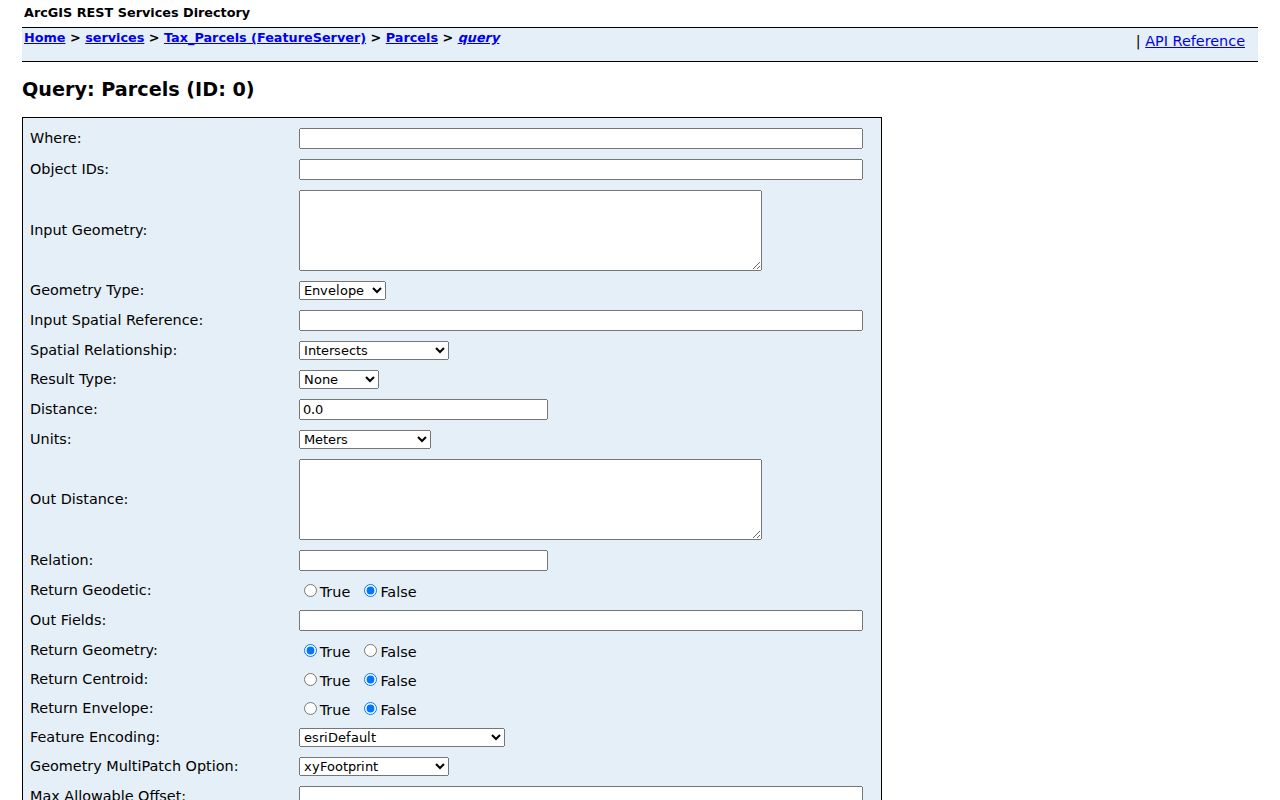
Current geometry can orient the research, but the original deed wording and the historic sheet remain the evidence for an older address form.
Staunton Street Permit History
Permit files are address-keyed evidence of building activity, not a resident list. Staunton Community Development lists categories that include building, electrical, mechanical, plumbing, zoning, historic, land development, subdivision, and water or sewer matters. When a responsive file is public, its application, permit, inspection, certificate, or site-plan material may help date work at the parcel. Compare any listed role and date with the deed chain rather than assuming a permit participant owned or occupied the address.
Civic Access began handling new online permit applications on May 5, 2026. The city says pre-May 5 permits are not online, which creates a real split in the address trail. For older material, contact Community Development or make a specific Virginia FOIA request that states the address, time range, and record type. The current online platform should not be described as a complete permit archive.
Staunton Street Wards Are Not Rosters
Staunton’s five wards and polling places can help identify the civic geography of an address. They cannot turn a street search into a list of voters. The individual Virginia lookup is designed for a matched voter-information view, and the governing statutes restrict broader voter-file access. Use the city registrar or official ward material to confirm a ward question, and keep voter status, voting history, and protected address information out of an address-history file.
Limits of the Staunton Street Directory
These public address sources can connect parcel, land, map, permit, and historical-reference material. They cannot prove every current household relationship or turn a tax mailing field into a residence. DMV data, protected voter information, sealed files, adoption records, and substitute addresses in Virginia’s Address Confidentiality Program have separate limits. When the record trail breaks, document the missing link and ask the custodian for the next lawful channel instead of filling the gap with a guess.
Lawful use. Use Staunton address records for personal, property, family-history, and civic research. Do not use them to stalk, harass, intimidate, or harm another person.